Gold Fever! On the Chilkoot Trail: 100 Years After Discovery
Feeling adventurous and cocky after a few years of wilderness canoeing and camping and wanting to build on our base of hiking and back packing, we decide the Yukon would be a great hiking destination. For 5 days in mid August, we leisurely trace the historic 1896 gold rush route from Dyea to Lake Bennett.
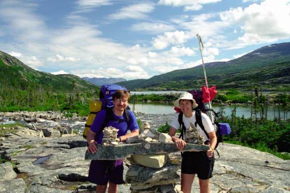
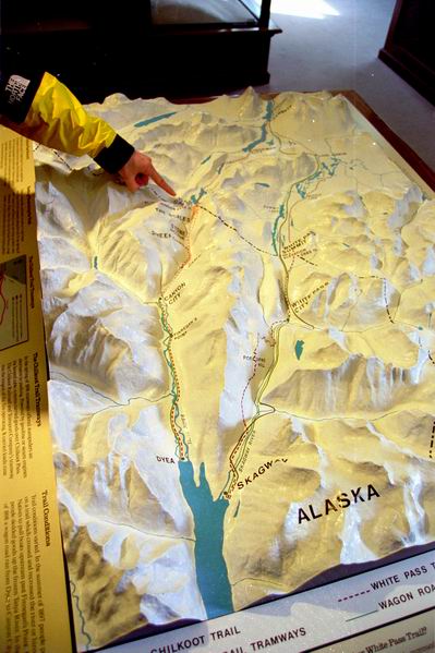
Its 53 km of mostly up, from Dyea at sea level to the Chilkoot Summit (1122m / 3680’) before gradually descending to Lake Bennett where our hike would end. Klondikers carried further on following the Yukon River to Dawson City, another 840km / 522 miles away. Some 20,000 to 30,000 people passed through this narrow gap during the gold rush years following the known trade route dominated by Chilkats, a branch of the Tlingit nation. Sometimes referred to as ‘meanest 32 miles in history’, I hoped my experience would reflect it as ‘the worlds longest museum’. Gold pans ready, packs loaded, off we went.
Whitehorse Arrival:
Nothing like a 3 plane shuttle – this just about guarantees lost baggage. So was it in Toronto or Vancouver or somewhere in between? The plan was to leave tomorrow for Skagway, Alaskan and start the hike the day after. We just take a big breath, go for a beer and hope the bags will materialize overnight….and luckily, they do! Thank you travel gods.
Drive to Skagway, Alaska:
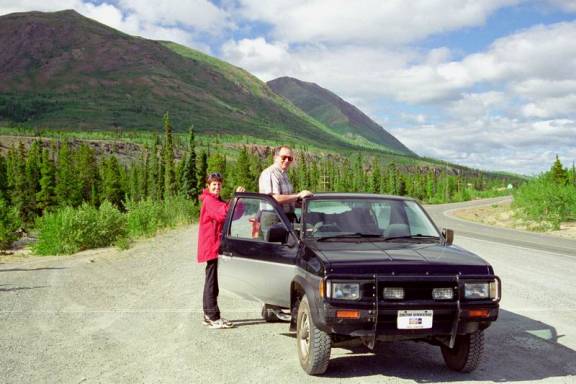
At 9am we were on the road. Alex, an ex Ontario residential and canoe club member who now lives in Whitehorse kindly offered to play tour guide, driving us the 172 km / 107 miles to Skagway and sightseeing along the way. Its great to see the country with a local as they share all kinds of insider information that short term tourists generally don’t pick up.
Carcross is the end of the Lake Bennett and the start of the Yukon River. About 1 hour south of Whitehorse, now largely a ghost town whistle stop with empty weather beaten frame buildings and a some rusting narrow gauge railway tracks. On a whim, we stop at a roadside café and get the most amazing cinnamon buns and gourmet coffee!
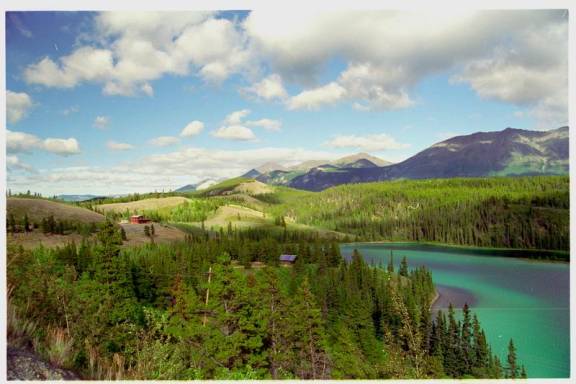
Enroute to Skagway the gorgeous jewel toned Emerald Lake.
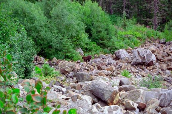
Typical rubble and tree scrub along the road – opps, look a bear! Hordes of camera spouting tourists stop to see what we are gawking at. No idea if this is a black bear or a grizz…
Skagway, Alaska: end of the paved road
The road into Skagway Alaska was built to transport lead and zinc from mines to the ocean side loading dock. ‘Muffin’ trucks carry the minerals in what looks like upside down beehives or muffins, sitting on a flat bed trailer. We pass more of those than private vehicles. Shortly afterward, we cross the Canadian and USA border. It’s a simple procedure, the border guards barely look at our birth certificates before waving us on.
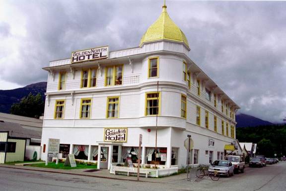
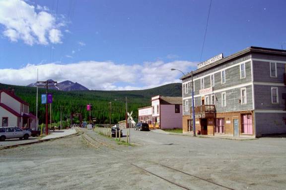
Through the trees, at a bend in the road, Skagway way suddenly appears nestled among the spruce trees at waters edge. Downtown, quaint restored buildings mix with their shabbier cousins. Our hotel, the Golden North, is one of the oldest hotels in Alaska, circa 1908. Our room on the 3rd floor is complete with red flocked wallpaper, old mirrors with rippled glass and gold painted radiators. Odd that the time zone is one hour behind, running on Alaska time, not BC time. Skagway is a popular stop for the cruise ships and like many tourist locations is over priced and under serviced. Souvenirs quality varies widely from gorgeous custom jewelry to yes, the plastic Indian doll (just like at Niagara Falls – who buys those things anyhow?).