26 days at the Top of the World: Ellesmere Island - 1998
Having toughened our hiking feet on the Chilkoot Trail (1995), in Auyuittuq National Park (1996) and the Torngat Mountains (1997), we felt ready to tackle a longer and self guided wilderness trek: being lovers of treeless tundra, with one of the greatest expanses of remote wilderness in the world., it seemed natural to look north at our own country.
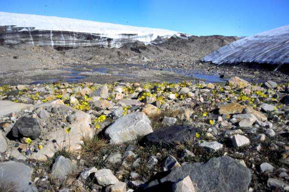
Now known as “Quttinirpaaq” (Inuit word for ‘top of the world’), in 1998 it was still called Ellesmere Island National Park Reserve. Located at 82 degrees north and some 15 hours flying time north of Ottawa, it was about as far north as I could afford to go in Canada. Indeed, Ward Hunt Island, a stones throw off Ellesmere’s northern coast was and still is the starting point for many north pole expeditions. We couldn’t think of any reason not to go and plunged into the lengthy planning process every isolated wilderness trip demands.
It was a hugely satisfying experience from the planning, the packing, the travel, the trip itself - I even liked how my photos turned out! With no preconceived ideas and eyes wide open, I wasn’t disappointed. Expecting the unexpected became the daily norm.
Happily and partially due to dumb luck, we scraped through a few some circumstances that could have easily turned into disastrous events. So, what follows is the story of how a canoe head learned to love a back pack….(hikers mantra: a pound on your feet is five on your back)…
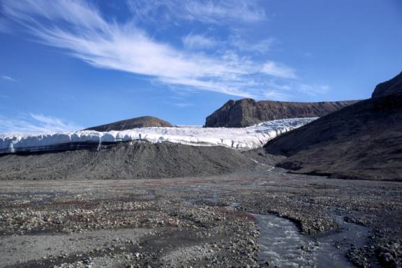
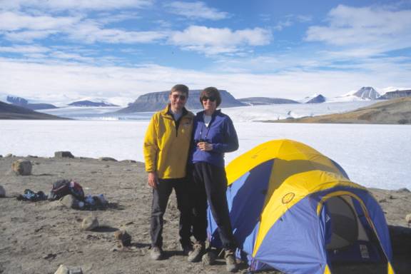
The hiking routes we took on Ellesmere was pretty much the standard loop most visitors would take. We did a 7 day loop starting from Lake Hazen, exploring the Snow Goose and Abbe River valley and returning to Lake Hazen. After reloading provision, we set out for a further 14 days, trekking towards to Tanquary Fiord, along the Lewis and Air Force Rivers.