Trial and Error: The Errors
I believe that everyone is born with a natural sense of direction – as humans grow up and are acculturated, that quite instinct is subverted with the noise of other living skills. But there are those people with an uncanny sense of direction, never seeming to get lost. They have not lost touch with those subtle internal and external cues that guide all living things. This ability however, works best when one is intimately familiar with a particular type of landscape be it boreal forest, prairie grassland or alpine meadow.
That being said, almost immediately I struggled to make sense of these immense spaces. I goofed! And I consider myself to be a fairly reliable navigator. The deceiving scale and especially sense of distance in these treeless barrens upset my existing perception mapping. But over the days and a few mistakes later, my navigation perception adjusted to the new surrounding reality. That rock which initially looked to be only a 5 minute walk I now knew was a 2 hour walk! The clarity of the air was astounding and must have contributed to this illusion…
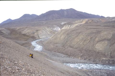
The first navigation mistake was within 60 minutes of leaving camp on the first day. From the mouth of the Snow Goose River, we wanted to go inland - it seemed straightforward to walk upstream, along the river bank. This was fine in the beginning but the river carved deeper into the valley, steep sides lined with unstable stone pebble rubble, grew. At the outside of a river bend, our route disappeared, squeezed by the river and ever growing, steep river banks. Our choice was retrace our steps (never! another thing we learned the hard way) or go up…so we went up. It was a difficult scramble as the rocks moved under our feet – Ron carried my pack up and then went back down for his own.
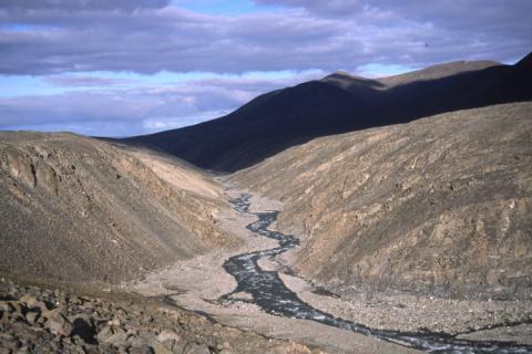
Navigation choice number two: looking down stream on the Nesmith River, the river has carved a deep trench into the valley floor. The river floor is littered with ankle turning football sized rock. There is no view of anything except for the steep sides and river itself. The river is very loud, making conversation difficult.
The alternative is walking on top the river plateau. But it
has its own annoyances: besides the bugs, the ground is soggy with boot sucking
mud. You either detour around the wet spots (which can be football sized
fields) or else soldier through. Ron could splash through with his water proof
boots but mine leaked like sieves. Neither choice was appealing…depending on
the ease of access to the river, I wandered from plateau to river valley, never
really finding that sweet spot. 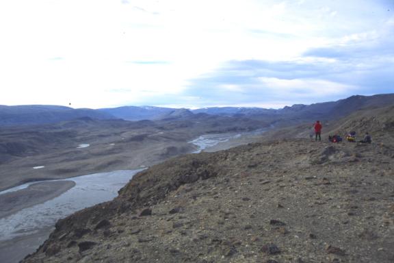
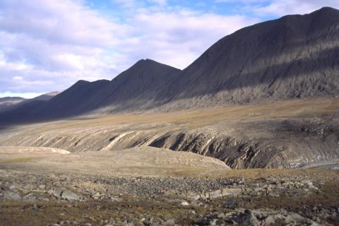
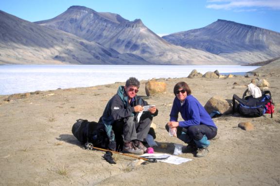
Head scratch number three: small humps disappear on 1:50,000 scale maps – the contours don’t show the many up and downs we have to travel. Here, we are looking for some distinguishing topographic feature to help pinpoint our location as we were ‘map challenged somewhere upstream on this tributary of the Turnstone River. We were so far off our original course the small humps didn’t matter as much as getting back on our route!
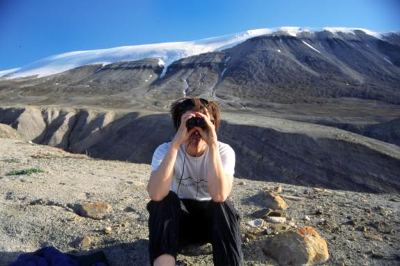
On the plus side, it was great having the freedom to set up camp wherever one chose. Instead of prescribed tent platforms, little number plates, running water and out houses, there were some 37,775 square km from which to pick a tent site. Here, we study the array of options. Henrietta Nesmith glacier in the background.
Fooled by the clarity of the air, things looked much closer than they really were – that peak which looked to be a pleasant stroll turned out to be 15 km away. Another optical illusion: objects in the distance appeared overly large: a white hare took on the size of a polar bear. Bleached white bones looked like logs, rocks that looked like boulders were in fact only pebbles when close. Somehow I kind of liked being fooled by the eye-brain disconnect, as if the body had been hijacked into some mythical world where ‘sense’ no longer made sense.