Labradors’s Secret Beach: The Wonderstrands
(a.k.a. ‘Wunderstrands’ a.k.a. ‘Porcupine Strand’ a.k.a. ‘the Strand’)
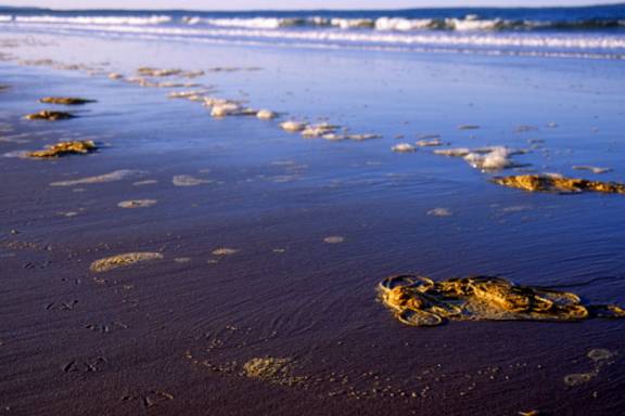
Two long trackless crescents of unoccupied ‘virgin’ sand, washed by the cold Labrador sea, backed by the Mealy Mountains, a future national park….the back drop: Labrador’s Wonderstrand. Named by sea faring Vikings (‘the Wunderstrand’) but long hunted, traveled and occupied over thousands of years by various peoples, it is still largely unknown and rarely visited by non-Labradorians.
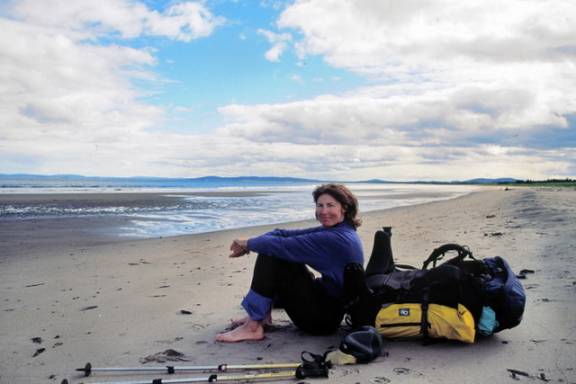
Like many places worth visiting, sometimes it takes a bit of luck for all the cards to fall into place. In the summer of 2006, I happened to be ‘in the neighbourhood’ (passing through Goose Bay after weeks in the Torngat Mountains but that is another story), ran into some friends and things just developed from there. A phone call later and I was booked on the overnight ferry from Goose Bay to Cartwright (no paved roads between Goose Bay and Cartwright). From there, I would need to arrange for a boat ride across Sandwich Bay then to North River where pushing across Sandy Point, I’d eventually reach the Wonderstrand proper. After a stormy summer in northern Labrador, I was eagerly looking forward to some ‘beach’ weather….
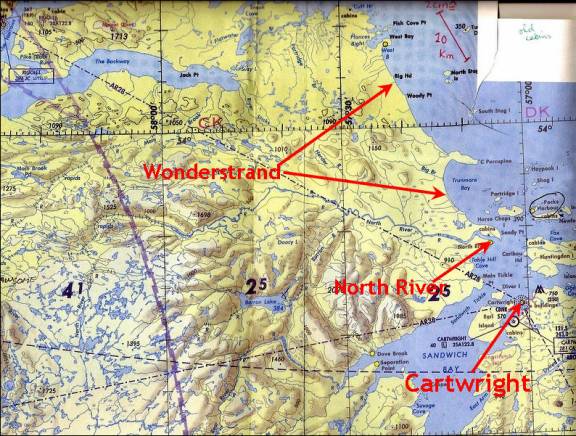
Depending how and where and what you measure, the Wonderstrand is between 54 km and 40 km long. Looking at the topo map, Cape Porcupine is a natural division -- the southern section is approximately 20 km long (tip of Sandy Point to Cape Porcupine). The northern section is marginally longer at 25 km, running from Cape Porcupine to Fish Cove Point. Starting at Sandy Point, I, along with my hiking comrade, Alfred, intend to proceed along the shore, following the Wonderstrand north until we’re beach satiated.