The Wonderstrand At Last
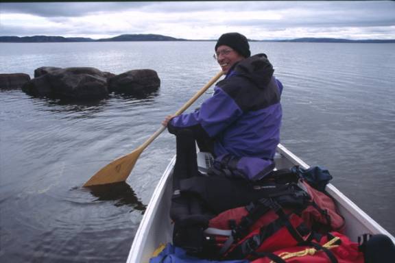
But it’s late August and the weather can be fickle, so we don’t linger at the cabin. The next morning, anxious to take advantage of the good weather, we will start the last leg to reach ground zero of the hike, a 800m canoe crossing of North River. It’s 30 minutes of hard paddling to ferry ourselves across, fighting current and outgoing tide. Stashing the borrowed canoe in the bush, we don backpacks, at last setting out for the hike. It’s grey and overcast but not raining (yet) – I’m happy to be on the trail again.
Which way?
In keeping with the usual style of our hikes, we never bother with either compass or GPS, preferring to use sun-wind-landmarks and map to navigate. This system works well in mountainous terrain of northern Labrador Torngats, but somewhat problematic in the flat treed scrub of the Wonderstrand.
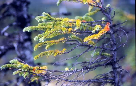
Following a combination ATV- foot trail (worn deep by current inhabitant of North River), the path alternates between narrow beach strand and clumps of sparse spruce interspersed with caribou moss carpet. The land bears the historic scars of man: axe blazed trees, rotting tree stumps, occasional canvas shred. It’s not a pristine wilderness trail but a living museum.
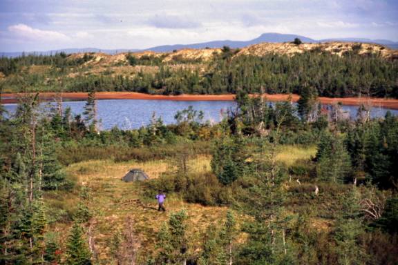
Fumbling northward
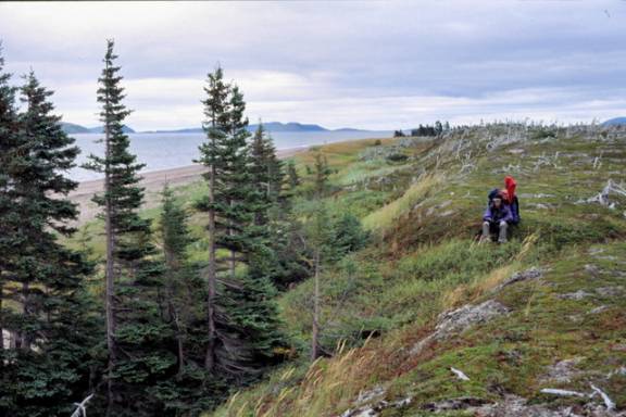
As the trail fades into the bush, we direct ourselves northward, across the peninsula, knowing eventually Trunmore Bay will appear. According to the 1:50,000 topo map, as the crow flies, the distance is no more than 1500m.
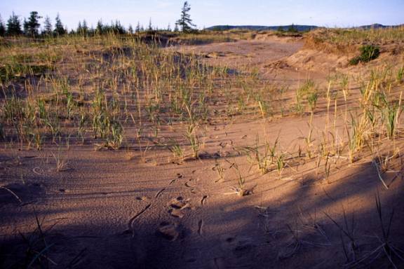
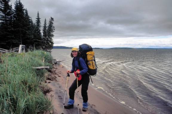
We meander, walking as fancy strikes, following sandy grooves through a labyrinth of low dunes before emerging at the crest of a firm sand ridge on the north shore. The Wonderstrand lays before us.
Bear shit dots the top of the ridge line. We pause a moment, scanning the horizon for movement. Only birds wheel in leaden sky, a sinuous surf line wavers. Leaving the shelter of the inland dunes, a stiff north wind blows on exposed faces. Twisted white stumps with knobby exposed roots still cling tenaciously to sandy soil, despite being topped.
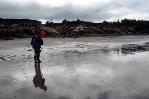
Descending down to the waterline, we seek wind shelter and easier walking. The sand is surprisingly firm and despite our heavy packs, we don’t sink in. The wide beach has temporarily tamed the ocean’s swell, mirror like reflections entertain us.
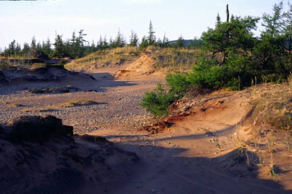
Perched high on a cliff, a crude tripod of rough branches, bearing only shreds of orange flag tape, marks the end of the ATV (or snow machine) trail. With an eye to the worsening weather, I inspect the gulch for a possible campsite but find no fresh water and thus move on.
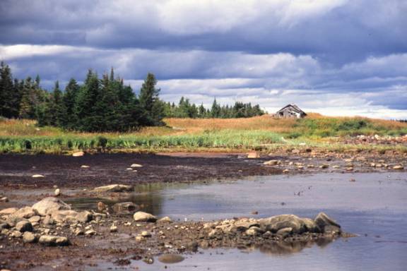
Climbing the sandy ridge further down, nestled between dunes and between trees, a body of fresh water glistens under the slate sky. Quickly we locate a level grassy spot between the trees, set up the tent as the rain begins to pelt down.